GEOG 567: Geospatial Data Analysis with Google Earth Engine
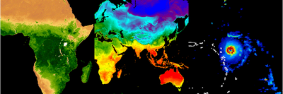
Spoiler of Intro
What is this?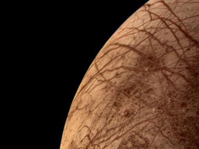
Course Description
Google Earth Engine (GEE) is a computationally powerful cloud platform in the era of big data. Traditionally, we had to manually download geospatial data tile by tile to our personal computers and then process these images to extract useful information, which can take weeks or even months. Overcoming this barrier, GEE has revolutionized our capacity for image analysis, modeling, and visualization. Nearly all the remotely sensed images in the world are at our fingertips on GEE, which also provides numerous tools for analyses that were previously impossible to do, such as time series analysis of environmental change and global-scale environmental monitoring. In addition, GEE has a huge ready-to-use functions available for users.
Course Goals and Learning Outcomes
In this course, students will take advantage of the rich resources available on GEE for image analysis, with applications on mapping, modeling, and visualization of land use and land cover change, exploration of human-environment interactions, and evaluation of disaster impacts. The course will:
- Introduce fundamentals of JavaScript programming
- Describe major geospatial datasets currently available on GEE
- Teach quantitative theory of satellite image analysis
- Show how to analyze geospatial data on GEE through hands on laboratory exercises
- Help students design research projects using image-processing skills with GEE
Easter Egg
Solve the coding puzzle! Teamwork is necessary.
Authors: Qi Zhang
Updated: January, 2025